VRMA PRODUCTS

The Western Cape government in conjunction with the Department of Environmental Affairs and Development Planning (DEA&DP) has produced guidelines to ensure a degree of uniformity and standards amongst Landscape Practitioners undertaking VIAs in the Western Cape.

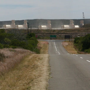
“The Visual Guideline document is therefore an attempt to develop a “best practice” approach for visual specialists, EIA practitioners and authorities involved in the EIA process.” 4

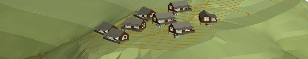
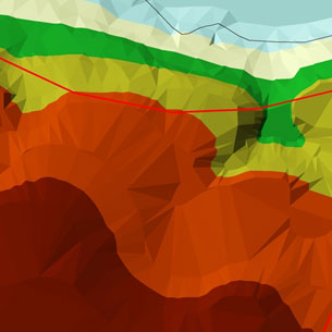
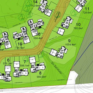
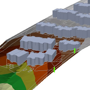
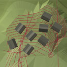
Four levels of Visual Impact Assessment have been recommended using specific criteria based on the type of development in relation to the nature of the environment.

Digital Elevation Model
Site Plan
Block Modelling
Photo Montage
FOUR LEVELS OF ASSESSMENT

Level 1 visual input:

Identification of issues, and site visit;

Brief comment on visual influence of the project and an indication of the expected impacts / benefits.

Level 2 visual input:

Identification of issues raised in scoping phase, and site visit;

Description of the receiving environment and the proposed project;
Establishment of view catchment area and receptors;

Brief indication of potential visual impacts, and possible mitigation measures.

Level 3 visual assessment:

Identification of issues raised in scoping phase, and site visit;
Description of the receiving environment and the proposed project;
Establishment of view catchment area, view corridors, viewpoints and receptors;

Indication of potential visual impacts using established criteria;
Inclusion of potential lighting impacts at night;
Description of alternatives, mitigation measures and monitoring programmes.

Review by independent, experienced visual specialist (if required).

Level 4 visual assessment:

Identification of issues raised in scoping phase, and site visit;
Description of the receiving environment and the proposed project;
Establishment of view catchment area, view corridors, viewpoints and receptors;

Indication of potential visual impacts using established criteria;
Inclusion of potential lighting impacts at night; Description of alternatives, mitigation measures and monitoring programmes.

Review by independent, experienced visual specialist (if required).
Plus complete 3D modeling and simulations, with and without mitigation.

GEOGRAPHIC INFORMATION SYSTEMS

VRM Africa has been involved in many large scale GIS projects including George SDF mapping and Oudtshoorn SDF mapping.

• GIS Data capture
• Overlay Analysis
• Slopes Analysis
• GIS Cartography

   
Digital Elevation Model Slopes Analysis
3D MODELLING AND PHOTO MONTAGE

A Photoshop exercise is used to merge the assimilated landscape modification with the photograph taken from key receptor locations. VRM Africa places a lot of emphasis on accuracy in accordance with the CALP recommendations. In order to increase accuracy we generate complete models of proposed developments and alternative. This allows us to accurately determine the degree of change to the landscape as seen from specific locations.

   
Architectural Model Site Model
Existing landscape Proposed landscape